We were a little slow getting ready and out of the house on Saturday. We were hoping this wouldn't mean much as half of the metro region had left last night or Thursday for the extended weekend. We were sorely mistaken upon reaching Cleveland, the gateway to [dreaded] Helen and traffic was backed up for miles. Unfortunately this backup is so easy to achieve when the area has one stoplight and only one lane in each direction. We had gambled that the remaining half of the population wasn't going to Helen. We had lost.
We were making our way to Hiawassee with the intent of striking North to run scenic Hwy 64 to Franklin, NC. We didn't have to go through Helen, but we had to venture near it, and it was putting a crimp in our leisurely ride. When we first discovered the backup, "Detour" on the GPS offered a left turn through a back neighborhood that would take us up to another highway/cutoff. Even with Avoid Unpaved Roads checked, Map Source is still woefully slow on updating. In all fairness, I don't think the detour road had ever been paved. So I am not sure how it even received a paved designation in the database. I was almost willing to take my bike up this gnarly, rutted, uneven dirt track...but luckily Mr. Oilburner didn't even want to attempt it. Means the road was pretty darn bad if he wasn't game.
We headed back the way we had come and stopped into a gas station for a map check and discussion. The discussion took the tone of being lazy and just going home to sit around the house or go four-wheeling. But we were already this far. This portion of Hwy 64 was actually somewhere we had never ridden. I had driven on it once, 5 years ago, in the middle of night. The road had stuck with me as someplace without much development and possible vistas. From discussions with riders, we were told it was a nice area to travel. So we decided to push on and find some very small back roads around Cleveland and Helen that wouldn't make us back track too much.
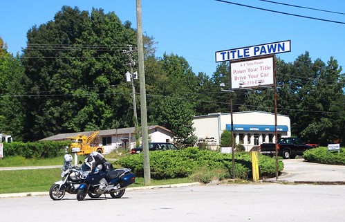
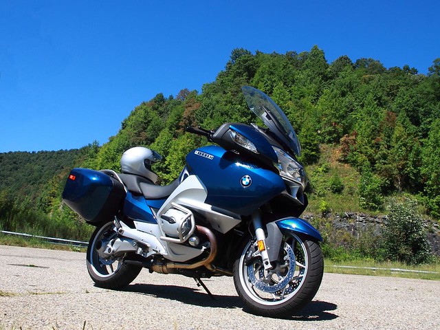
Traffic showing in the background. No, not pawning off the bikes.
Looking over the maps we had to go West to go East/North. And the only other option to get over the mountain was the terrifying Hwy 19 over Blood Mountain. I have been avoiding this Hwy like the plague! I have a mental hangup to this portion of Hwy 19 over Blood Mountain as hairpin turns with 50 foot elevation gains and no guardrails. In the past Mr. Oilburner chuckled at my stubborn refusal to ride this section over the years because I would happily ride other roads he considered much more technically difficult. This time I no longer cared. Bring it on. I would finally take the plunge and ride Blood Mountain.
Sidebar: You might be wondering how Blood Mountain was named. And this is a topic under debate. One theory references a great battle that occurred between the Creek and Cherokee Tribes for control of the territory. And that the battle was so fierce the streams ran red with the blood of those killed. The other theory believes the name comes from the red lichen and Catawba rhododendron growing near the summit.Well...that darn road wasn't anywhere near as bad as I had built it up to be in my mind. I certainly have been on roads much more difficult. It passed more quickly then I expected, and amused Mr. Oilburner with my surprise at being at the summit. This will be a wonderful road in the future as it is a great distance and time saver to some of our favorite destinations.
I've hiked to the summit of Blood Mountain and find it beautiful and peaceful.
In the spirit of continuing on back roads, we missed a turn and back tracked on a small farming lane. The first mutt encounter was a lazy dog just laying in the road under the shade of a tree. Mr. Oilburner never even saw him and he didn't care that we were feet away. The second encounter wasn't nearly as friendly with this snarling beast darting towards Mr. Oilburner in the lead. I was some distance behind and found it incredible that as soon as Mr. Oilburner passed he was ignored, and me, stopped 100 feet down the lane, became the object of his fixation. I screamed in a manner that only Mr. Oilburner could hear (I wonder a little if GoPro recorded it), waited for the snapping teeth and stiff tail to approach me, then zipped off. I am assured that he lost interest in me as soon as I had passed. But I'm not convinced.
We did reach Hiawassee and found a quaint place to eat: Bledsoe's Corner Cafe, Where Friendships Begin. :-) We went simple and just order sandwiches: BLT with well-done bacon for me, Egg Salad for Mr. Oilburner.

Yum! BLT and Egg Salad. (Not on the same sandwich...)
I took this lunchtime opportunity to work on recharging the GoPro. I know a couple people that have just purchased extra batteries. I am reluctant to do this as the metadata (date, time, numbering, etc.) is always reset with a battery change. And I invariably wind up with excess batteries when technology advances. Instead, Mr. Oilburner remembered I had a solar charger/battery from my hiking gear. It can be charged by plugging into an electrical source, or solar charging. I have never had luck fully charging the internal battery with just the sun, but it works fine when plugged in. So we had charged it the night before, and it only took plugging the GoPro into it during lunch to recharge it.
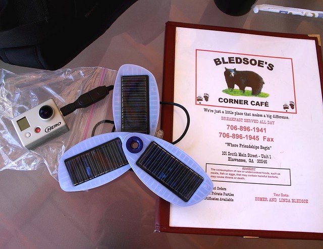
Solio Solar Charger recharging the GoPro.
I might try rigging the Solio onto the bike in the future. Or mounting other solar panels onto the Pelican case to charge this. Either way...some fun. I know there are people out there just shaking their heads and questioning why I don't just hook into the battery on the bike to charge something. Well, I just don't want to put that much of a draw on the alternator and battery. It isn't overloaded or anything, but what is wrong with a little solar power? And this way I can store some power and recharge anything that I have an adapter for even when the bike is not under way.
Back on the road and it only takes us a few minutes to get through Hiawassee and into North Carolina onto Hwy 64. The road is extremely wide for only 2 lanes, making technical turns a non-issue. Though I did still practice them.
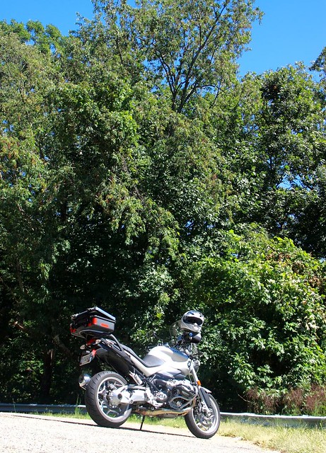
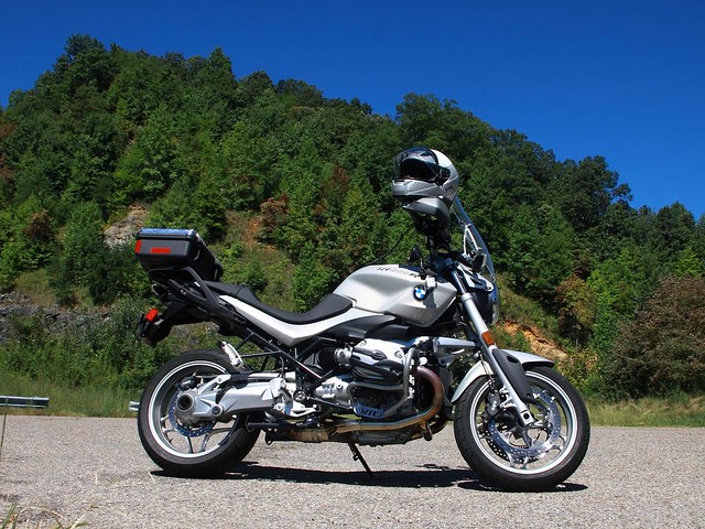
We hit the first turn out for photo ops.
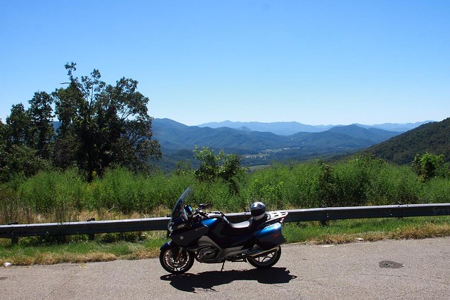
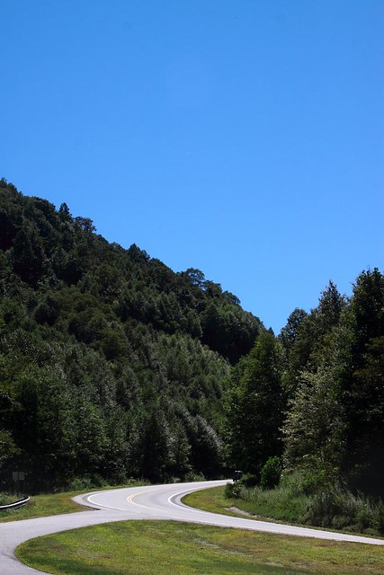
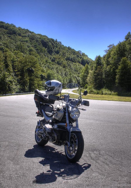
Again, the road isn't too technical and the ride is over quickly. The scenery is nice, forested hills, but not too many vistas or photogenic areas. We did stop at the next/last overlook and took more bike posing shots. :-)

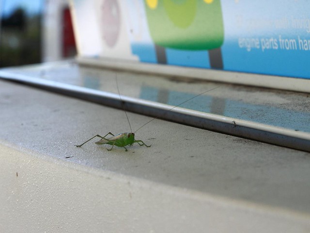
We rode the outskirts of Franklin and decided to head on home. We stopped for gas and were helped along by this little fellow.
While taking a snack break we chatted with Jim and Joel from Franklin (who had ridden down to Atlanta region for the day). Great guys involved with a riding group in Franklin who offered to show us the lay of the hills in their area whenever we had some time to spend up there. We will take you up on those offers!
And we needed to make a small back track to have a closer look at this pretty little truck sitting in a garage lot.
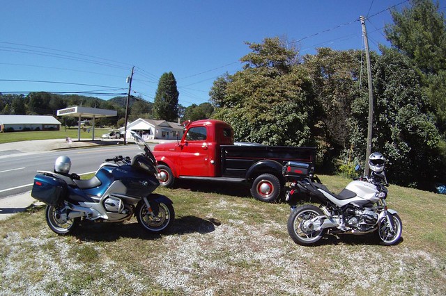
Looks like the one we have sitting in the back yard. Only this one is shiny, clean, well-painted and probably runs. In all fairness, our will probably run easily. It just won't stop well as the brake fluid bleeds out through all of the rust holes in the brake lines. Sorry Mr. Oilburner. Some work needs to be done on that thing. :-)